N9790 : Castle Guard Motte, Ardee, Louth
taken 11 years ago, near to Ardee, Co Louth, Ireland
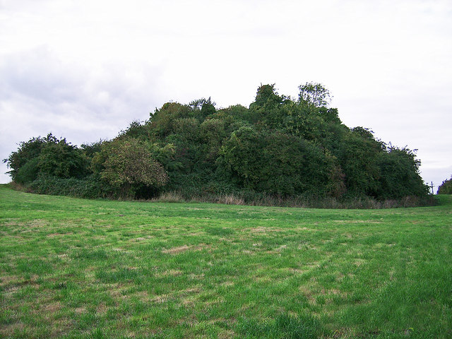
Castle Guard Motte, Ardee, Louth
On a slight rise not far from the River Dee is a flat topped mound surrounded by a wide fosse and from NE to SSW by a low outer bank. It is said that a wooden structure here was burnt by Bruce in 1315.
![Creative Commons Licence [Some Rights Reserved]](https://s1.geograph.org.uk/img/somerights20.gif)
|
· Find out How to reuse this image ·
Share:
|
|||||
| Start a discussion on N9790 | Suggest an update to this image | Contact the contributor | |||
Loading map... (JavaScript required)
- Grid Square
- N9790, 2 images (more nearby
 )
)
- Photographer
- Garry Dickinson (find more nearby)
- Contributed by
- Mike Searle (find more nearby)
- Date Taken
- Friday, 13 September, 2013 (more nearby)
- Submitted
- Friday, 31 July, 2020
- Geographical Context
- Subject Location
-
Irish:
 N 9712 9057 [10m precision]
WGS84: 53:51.3384N 6:31.4887W - Camera Location
-
Irish: N 9717 9058
- View Direction
- WEST (about 270 degrees)
Other Tags
This page has been viewed about 53 times.
View this location:
KML (Google Earth) ·
Google Maps ·
Bing Maps ·
Geograph Coverage Map ·
More Links for this image
·
Bing Maps ·
Geograph Coverage Map ·
More Links for this image