2020
SJ9674 : Public footpath between Valeroyal and Wickinford Farm
taken 4 years ago, near to Brookhouse, Cheshire East, England
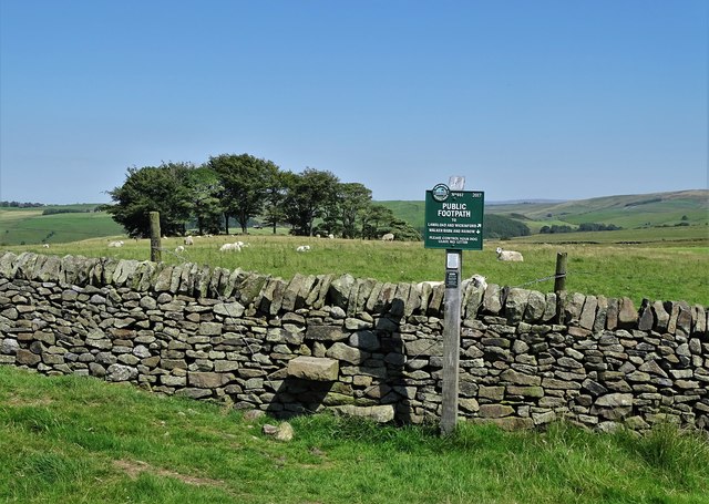
Public footpath between Valeroyal and Wickinford Farm
The image includes a helpful Peak and Northern Footpaths Society sign.
 Map © Crown Copyright")
TIP: Click the map for more Large scale mapping
- Grid Square
- SJ9674, 13 images (more nearby 🔍)
- Photographer
- Neil Theasby (more nearby)
- Date Taken
- Friday, 31 July, 2020 (more nearby)
- Submitted
- Sunday, 2 August, 2020
- Subject Location
-
OSGB36:
 SJ 9637 7416 [10m precision]
WGS84: 53:15.8654N 2:3.3529W - Camera Location
-
OSGB36: SJ 96360 74154
- View Direction
- Northeast (about 45 degrees)