2020
NS4591 : Bridge on the West Highland Way
taken 4 years ago, near to Milton of Buchanan, Stirling, Scotland
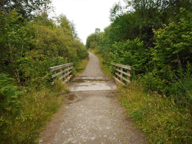
Bridge on the West Highland Way
The track crosses the Burn of Achlais.
West Highland Way
The West Highland Way is a long distance footpath, running for 154km (96miles) between Milngavie and Fort William.
It passes through countryside north of Glasgow, follows the east shore of Loch Lomond to Glen Falloch and Strathfillan, crosses Rannoch Moor to the head of Glencoe, climbs the Devils Staircase and descends to Loch Leven, before crossing the Lairigmor and Glen Nevis to finish in Gordon Square, Fort William.
 Map © Crown Copyright")
TIP: Click the map for more Large scale mapping
- Grid Square
- NS4591, 27 images (more nearby 🔍)
- Photographer
- Richard Sutcliffe (more nearby)
- Date Taken
- Sunday, 2 August, 2020 (more nearby)
- Submitted
- Monday, 3 August, 2020
- Subject Location
-
OSGB36:
 NS 4571 9133 [10m precision]
WGS84: 56:5.3870N 4:28.8856W - Camera Location
-
OSGB36: NS 4570 9132
- View Direction
- East-northeast (about 67 degrees)