2020
NT8935 : Flodden Hill from Branxton Moor
taken 4 years ago, near to Howtel, Northumberland, England
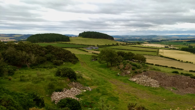
Flodden Hill from Branxton Moor
 Map © Crown Copyright")
TIP: Click the map for more Large scale mapping
- Grid Square
- NT8935, 16 images (more nearby 🔍)
- Photographer
- Mick Garratt (more nearby)
- Date Taken
- Saturday, 1 August, 2020 (more nearby)
- Submitted
- Tuesday, 4 August, 2020
- Subject Location
-
OSGB36:
 NT 8997 3530 [10m precision]
WGS84: 55:36.6717N 2:9.6469W - Camera Location
-
OSGB36: NT 89926 35300
- View Direction
- EAST (about 90 degrees)