2020
NZ1967 : Public footpath across Westerhope Golf Course
taken 4 years ago, near to Woolsington, Newcastle Upon Tyne, England
This is 1 of 2 images, with title Public footpath across Westerhope Golf Course in this square
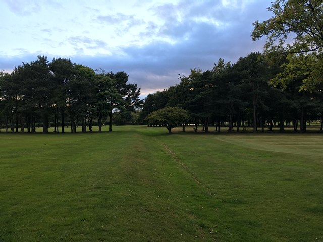
Public footpath across Westerhope Golf Course
 Map © Crown Copyright")
TIP: Click the map for more Large scale mapping
- Grid Square
- NZ1967, 43 images (more nearby 🔍)
- Photographer
- Anthony Foster (more nearby)
- Date Taken
- Tuesday, 28 July, 2020 (more nearby)
- Submitted
- Tuesday, 4 August, 2020
- Subject Location
-
OSGB36:
 NZ 1942 6791 [10m precision]
WGS84: 55:0.3228N 1:41.8749W - Camera Location
-
OSGB36: NZ 1945 6790
- View Direction
- West-northwest (about 292 degrees)