2008
TQ1469 : Path in Waterhouse Woodland Garden
taken 16 years ago, near to East Molesey, Surrey, England
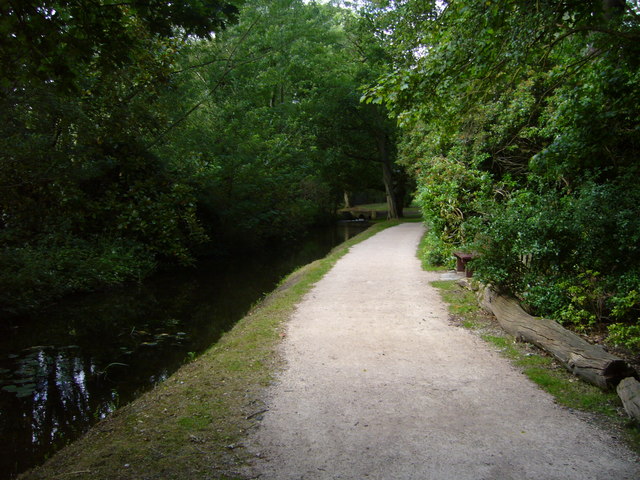
Path in Waterhouse Woodland Garden
This is just after entering the woodland garden from Lime Avenue in Bushy Park. It is on the route of the London Green Belt Way.
 Map © Crown Copyright")
TIP: Click the map for more Large scale mapping
- Grid Square
- TQ1469, 249 images (more nearby 🔍)
- Photographer
- Sean Davis (more nearby)
- Date Taken
- Sunday, 29 June, 2008 (more nearby)
- Submitted
- Wednesday, 5 August, 2020
- Subject Location
-
OSGB36:
 TQ 14765 69414 [1m precision]
WGS84: 51:24.7285N 0:21.0712W - Camera Location
-
OSGB36: TQ 14757 69391
- View Direction
- North-northeast (about 22 degrees)