2020
SX5584 : WD post 19
taken 4 years ago, 3 km from Lane End, Devon, England
WD post 19
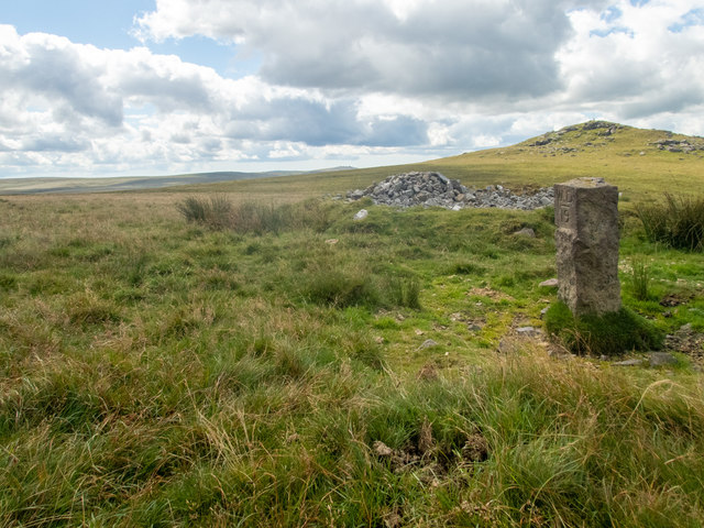
This is a view of Hare Tor taken from the col between it and Sharp Tor: the tops of both tors are in the square. The near view shows the cairn (marked on the 1:25000 OS map, and a War Department marker stone (Link (Archive Link ) .
 Map © Crown Copyright")
TIP: Click the map for more Large scale mapping
- Grid Square
- SX5584, 7 images (more nearby 🔍)
- Photographer
- Neville Goodman (more nearby)
- Date Taken
- Monday, 3 August, 2020 (more nearby)
- Submitted
- Thursday, 6 August, 2020
- Subject Location
-
OSGB36:
 SX 5527 8426 [10m precision]
WGS84: 50:38.4006N 4:2.8898W - Camera Location
-
OSGB36: SX 55169 84599
- View Direction
- South-southeast (about 157 degrees)