2020
ST4813 : East Chinnock Airfield
taken 4 years ago, near to East Chinnock, Somerset, England
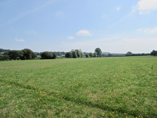
East Chinnock Airfield
Now given over to agriculture, the airfield was used in WW2 until 1943 as a bombing decoy (Q208A) for RAF Yeovil Airfield, Westlands Aircraft and Yeovil Town itself. Despite the decoy Yeovil did suffer bombing.
 Map © Crown Copyright")
TIP: Click the map for more Large scale mapping
- Grid Square
- ST4813, 11 images (more nearby 🔍)
- Photographer
- Sarah Smith (more nearby)
- Date Taken
- Saturday, 8 August, 2020 (more nearby)
- Submitted
- Saturday, 8 August, 2020
- Subject Location
-
OSGB36:
 ST 4848 1315 [10m precision]
WGS84: 50:54.9301N 2:44.0547W - Camera Location
-
OSGB36: ST 4824 1313
- View Direction
- EAST (about 90 degrees)