2020
SO8782 : Footpath across pasture near Whittington, Staffordshire
taken 4 years ago, near to Whittington, Staffordshire, England
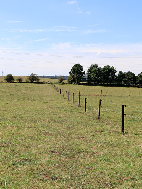
Footpath across pasture near Whittington, Staffordshire
A public footpath crosses this field towards Whittington Hall Lane. Behind the camera it passes through Bunker's Hill Wood, and on to Sugar Loaf Lane south of Stourbridge.
SO8782 : Whittington Hall Lane south-west of Stourbridge
SO8782 : Whittington Hall Lane south-west of Stourbridge
 Map © Crown Copyright")
TIP: Click the map for more Large scale mapping
- Grid Square
- SO8782, 53 images (more nearby 🔍)
- Photographer
- Roger D Kidd (more nearby)
- Date Taken
- Friday, 7 August, 2020 (more nearby)
- Submitted
- Sunday, 9 August, 2020
- Subject Location
-
OSGB36:
 SO 8740 8248 [10m precision]
WGS84: 52:26.4085N 2:11.2070W - Camera Location
-
OSGB36: SO 8749 8248
- View Direction
- WEST (about 270 degrees)