2020
NT6763 : The B6355 in the Whiteadder valley
taken 4 years ago, near to Cranshaws, Scottish Borders, Scotland
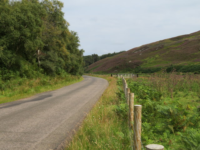
The B6355 in the Whiteadder valley
Looking towards Cranshaws, with mixed deciduous woodland on the left and the heathery slope of Dog Law on the right.
 Map © Crown Copyright")
TIP: Click the map for more Large scale mapping
- Grid Square
- NT6763, 15 images (more nearby 🔍)
- Photographer
- M J Richardson (more nearby)
- Date Taken
- Sunday, 9 August, 2020 (more nearby)
- Submitted
- Tuesday, 11 August, 2020
- Subject Location
-
OSGB36:
 NT 6737 6319 [10m precision]
WGS84: 55:51.6470N 2:31.3724W - Camera Location
-
OSGB36: NT 6728 6321
- View Direction
- East-southeast (about 112 degrees)