2020
SO8883 : Roman Road by Romany Way in Stourbridge
taken 4 years ago, near to Stourbridge, Dudley, England
Roman Road by Romany Way in Stourbridge
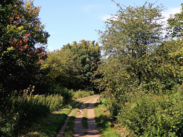
Looking north from near Westwood Avenue. Sandy Lane is also known as Roman Road. To confuse things further, the road off to the right by Sandy Lane is called Romany Way!
This route is not actually Roman in origin. It was constructed in the 18th century as part of a turnpike (toll) road linking Kidderminster and Dudley. (information - K. James, BSc).
The course of a former first century Roman Road between Droitwich and Greensforge passes by about 150 metres off to the left.
 Map © Crown Copyright")
TIP: Click the map for more Large scale mapping
- Grid Square
- SO8883, 44 images (more nearby 🔍)
- Photographer
- Roger D Kidd (more nearby)
- Date Taken
- Friday, 7 August, 2020 (more nearby)
- Submitted
- Tuesday, 11 August, 2020
- Subject Location
-
OSGB36:
 SO 8839 8338 [10m precision]
WGS84: 52:26.8953N 2:10.3351W - Camera Location
-
OSGB36: SO 8838 8330
- View Direction
- NORTH (about 0 degrees)