2020
SO8783 : Whittington Hall Lane south-west of Stourbridge
taken 4 years ago, near to Whittington, Staffordshire, England
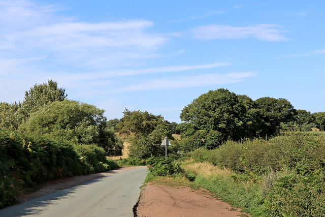
Whittington Hall Lane south-west of Stourbridge
This shows Whittington Hall Lane in Staffordshire, looking north towards Round Hill, from near the northern entrance to Bunker's Hill Wood.
 Map © Crown Copyright")
TIP: Click the map for more Large scale mapping
- Grid Square
- SO8783, 36 images (more nearby 🔍)
- Photographer
- Roger D Kidd (more nearby)
- Date Taken
- Friday, 7 August, 2020 (more nearby)
- Submitted
- Tuesday, 11 August, 2020
- Subject Location
-
OSGB36:
 SO 8750 8311 [10m precision]
WGS84: 52:26.7485N 2:11.1202W - Camera Location
-
OSGB36: SO 8749 8304
- View Direction
- NORTH (about 0 degrees)