2020
SO8783 : Maize field north of Bunker's Hill in Staffordshire
taken 4 years ago, near to Whittington, Staffordshire, England
This is 1 of 2 images, with title Maize field north of Bunker's Hill in Staffordshire in this square
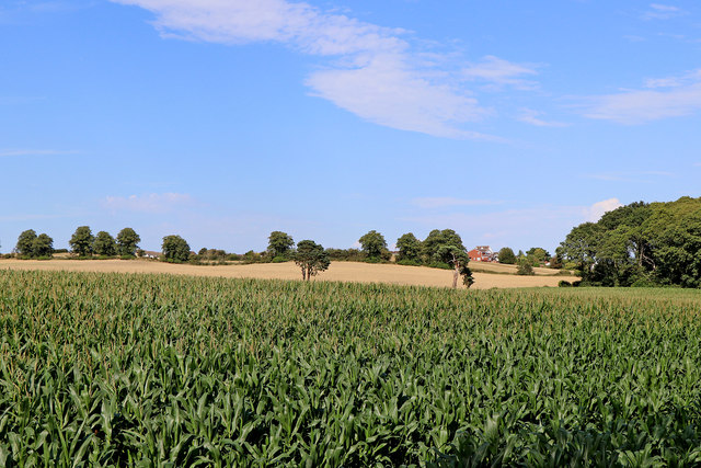
Maize field north of Bunker's Hill in Staffordshire
Looking north-east from the bridleway by Iverley Lodge.
 Map © Crown Copyright")
TIP: Click the map for more Large scale mapping
- Grid Square
- SO8783, 36 images (more nearby 🔍)
- Photographer
- Roger D Kidd (more nearby)
- Date Taken
- Friday, 7 August, 2020 (more nearby)
- Submitted
- Tuesday, 11 August, 2020
- Subject Location
-
OSGB36:
 SO 8799 8324 [10m precision]
WGS84: 52:26.8192N 2:10.6879W - Camera Location
-
OSGB36: SO 8793 8319
- View Direction
- Northeast (about 45 degrees)