2020
SO8682 : Whittington Hall Lane east of Kinver in Staffordshire
taken 4 years ago, near to Whittington, Staffordshire, England
This is 1 of 3 images, with title Whittington Hall Lane east of Kinver in Staffordshire in this square
Whittington Hall Lane east of Kinver in Staffordshire
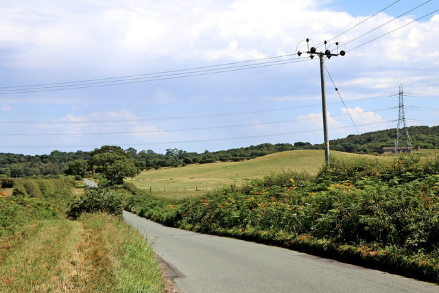
Looking east towards Stourbridge from Whittington Common. Bunker's Hill Wood now includes what was Iverley Heath, and spreads across the skyline in this image.
 Map © Crown Copyright")
TIP: Click the map for more Large scale mapping
- Grid Square
- SO8682, 28 images (more nearby 🔍)
- Photographer
- Roger D Kidd (more nearby)
- Date Taken
- Friday, 7 August, 2020 (more nearby)
- Submitted
- Wednesday, 12 August, 2020
- Subject Location
-
OSGB36:
 SO 8681 8260 [10m precision]
WGS84: 52:26.4724N 2:11.7280W - Camera Location
-
OSGB36: SO 8664 8262
- View Direction
- EAST (about 90 degrees)