2020
SO2331 : Eastern end of Twyn Talycefn
taken 4 years ago, near to Capel-y-Ffin, Powys, Wales
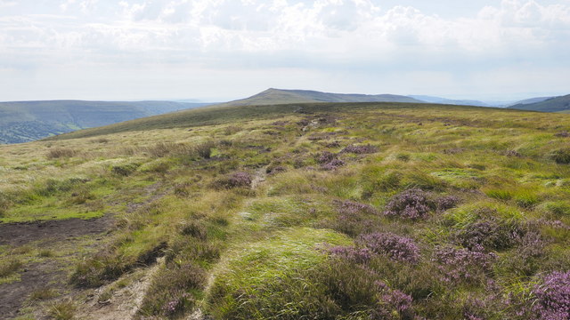
Eastern end of Twyn Talycefn
Following the line of the path from Rhos Dirion to Y Fan and beyond.
 Map © Crown Copyright")
TIP: Click the map for more Large scale mapping
- Grid Square
- SO2331, 6 images (more nearby 🔍)
- Photographer
- Jonathan Billinger (more nearby)
- Date Taken
- Friday, 7 August, 2020 (more nearby)
- Submitted
- Wednesday, 12 August, 2020
- Subject Location
-
OSGB36:
 SO 2303 3172 [10m precision]
WGS84: 51:58.7155N 3:7.3227W - Camera Location
-
OSGB36: SO 2300 3176
- View Direction
- Southeast (about 135 degrees)