2020
TQ1608 : View SW towards Lychpole Hill
taken 4 years ago, 3 km from Sompting, West Sussex, England
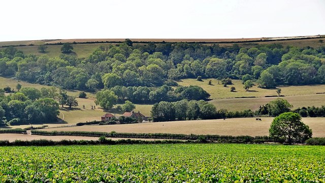
View SW towards Lychpole Hill
Lychpole Farm is visible in the dip.
 Map © Crown Copyright")
TIP: Click the map for more Large scale mapping
- Grid Square
- TQ1608, 40 images (more nearby 🔍)
- Photographer
- Ian Cunliffe (more nearby)
- Date Taken
- Wednesday, 12 August, 2020 (more nearby)
- Submitted
- Wednesday, 12 August, 2020
- Subject Location
-
OSGB36:
 TQ 160 080 [100m precision]
WGS84: 50:51.5923N 0:21.1319W - Camera Location
-
OSGB36: TQ 161 080
- View Direction
- Southwest (about 225 degrees)