2020
NS4309 : Drumgrange No.8 Pit
taken 4 years ago, near to Waterside, East Ayrshire, Scotland
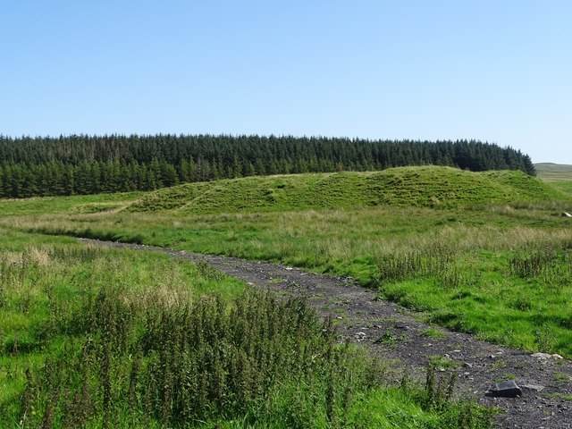
Drumgrange No.8 Pit
Drumgrange No.8 Pit bing.
 Map © Crown Copyright")
TIP: Click the map for more Large scale mapping
- Grid Square
- NS4309, 21 images (more nearby 🔍)
- Photographer
- Rab McMurdo (more nearby)
- Date Taken
- Friday, 14 August, 2020 (more nearby)
- Submitted
- Saturday, 15 August, 2020
- Subject Location
-
OSGB36:
 NS 4351 0995 [10m precision]
WGS84: 55:21.5133N 4:28.2100W - Camera Location
-
OSGB36: NS 4344 0992
- View Direction
- East-northeast (about 67 degrees)