2020
NJ0038 : Fir Trees
taken 4 years ago, near to Dava, Highland, Scotland
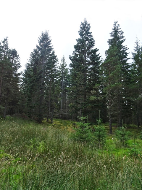
Fir Trees
I am not sure exactly what species of fir these are, but they are a welcome change from tracts of Sitka Spruce, and a sharp contrast with the exposed route over the moor.
The Dava Way
The Dava Way is a 38 kilometre (24 mile) path linking Grantown-on-Spey with Forres. For most of the way it uses the trackbed of the Inverness and Perth Junction Railway, which was closed in 1965.
It's a long but very easy walk on firm ground with no steep climbs, and most of it is on moorland with open views. There are numerous points where it is close to the A940 or A939, so it can easily be done in several shorter sections rather than the full 24 miles having to be done in a single expedition.
It's also well maintained, being looked after by the volunteers of the Dava Way Association. See Linkfor information about the Association.
 Map © Crown Copyright")
TIP: Click the map for more Large scale mapping
- Grid Square
- NJ0038, 80 images (more nearby 🔍)
- Photographer
- Anne Burgess (more nearby)
- Date Taken
- Wednesday, 19 August, 2020 (more nearby)
- Submitted
- Saturday, 22 August, 2020
- Subject Location
-
OSGB36:
 NJ 0068 3884 [10m precision]
WGS84: 57:25.7405N 3:39.3439W - Camera Location
-
OSGB36: NJ 0070 3888
- View Direction
- South-southwest (about 202 degrees)