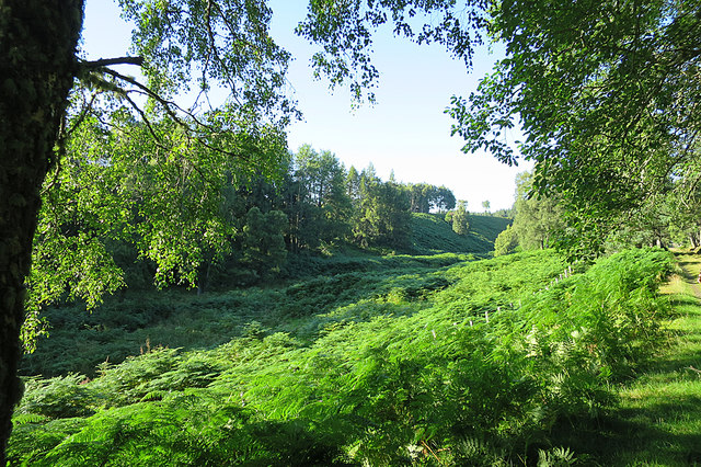
NJ0242 : Burn of Aulthaunachan
taken 4 years ago, 3 km from Tomdow, Moray, Scotland
The Dava Way is a 38 kilometre (24 mile) path linking Grantown-on-Spey with Forres. For most of the way it uses the trackbed of the Inverness and Perth Junction Railway, which was closed in 1965.
It's a long but very easy walk on firm ground with no steep climbs, and most of it is on moorland with open views. There are numerous points where it is close to the A940 or A939, so it can easily be done in several shorter sections rather than the full 24 miles having to be done in a single expedition.
It's also well maintained, being looked after by the volunteers of the Dava Way Association. See Linkfor information about the Association.
The railway between Inverness and Perth was opened in 1863, and in 1865 merged with the Inverness and Aberdeen Junction Railway to form the Highland Railway. The section between Aviemore and Forres was closed in 1965.
 Map © Crown Copyright")
- Grid Square
- NJ0242, 32 images (more nearby 🔍)
- Photographer
- Anne Burgess (more nearby)
- Date Taken
- Wednesday, 19 August, 2020 (more nearby)
- Submitted
- Sunday, 23 August, 2020
- Subject Location
-
OSGB36:
 NJ 0234 4240 [10m precision]
WGS84: 57:27.6800N 3:37.7712W - Camera Location
-
OSGB36: NJ 0235 4231
- View Direction
- NORTH (about 0 degrees)