2020
SZ6586 : View across Black Rock Ledge at low tide
taken 4 years ago, near to Bembridge, Isle of Wight, England
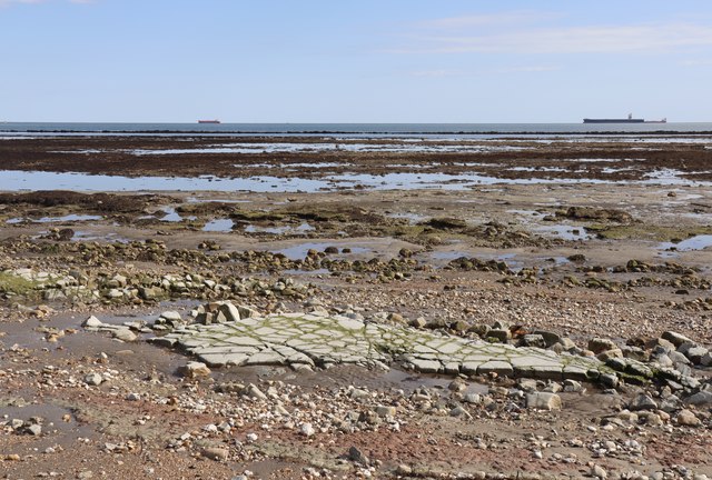
View across Black Rock Ledge at low tide
With the spit known as Long Ledge in the distance, the Nab Anchorage beyond and a limestone pavement in the foreground.
 Map © Crown Copyright")
TIP: Click the map for more Large scale mapping
- Grid Square
- SZ6586, 20 images (more nearby 🔍)
- Photographer
- Paul Coueslant (more nearby)
- Date Taken
- Monday, 31 August, 2020 (more nearby)
- Submitted
- Monday, 31 August, 2020
- Subject Location
-
OSGB36:
 SZ 6527 8667 [10m precision]
WGS84: 50:40.5625N 1:4.6575W - Camera Location
-
OSGB36: SZ 6504 8695
- View Direction
- Southeast (about 135 degrees)