2020
NY7750 : Mohope Head
taken 4 years ago, 4 km SSW of Ninebanks, Northumberland, England
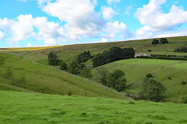
Mohope Head
Just below the farm can be seen the ruined remains of a limekiln and buildings at the former Mohope Lead Mine.
 Map © Crown Copyright")
TIP: Click the map for more Large scale mapping
- Grid Square
- NY7750, 91 images (more nearby 🔍)
- Photographer
- Andrew Curtis (more nearby)
- Date Taken
- Tuesday, 1 September, 2020 (more nearby)
- Submitted
- Wednesday, 2 September, 2020
- Subject Location
-
OSGB36:
 NY 7700 5010 [10m precision]
WGS84: 54:50.7106N 2:21.5814W - Camera Location
-
OSGB36: NY 77346 50084
- View Direction
- WEST (about 270 degrees)