2020
SK4430 : The flood protection bank
taken 4 years ago, near to Shardlow, Derbyshire, England
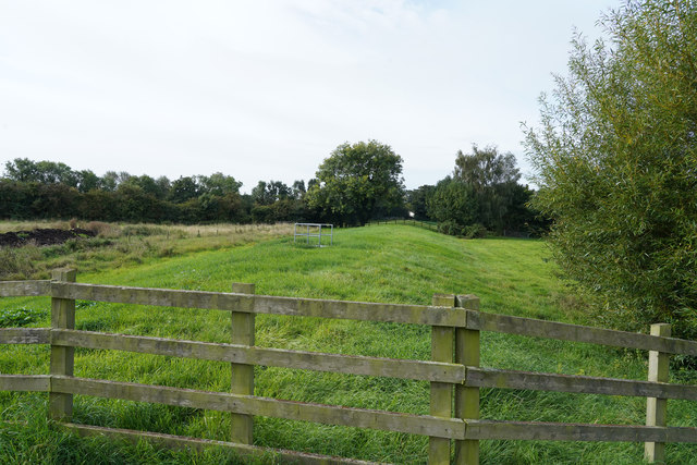
The flood protection bank
Looking along the earth bank that is designed to hold back flood water, with the canal a little way ahead and to our left.
 Map © Crown Copyright")
TIP: Click the map for more Large scale mapping
- Grid Square
- SK4430, 294 images (more nearby 🔍)
- Photographer
- Malcolm Neal (more nearby)
- Date Taken
- Friday, 4 September, 2020 (more nearby)
- Submitted
- Friday, 4 September, 2020
- Subject Location
-
OSGB36:
 SK 4474 3050 [10m precision]
WGS84: 52:52.2074N 1:20.2074W - Camera Location
-
OSGB36: SK 4475 3052
- View Direction
- South-southwest (about 202 degrees)