2020
TQ3629 : 34WH Public Footpath
taken 4 years ago, near to Highbrook, West Sussex, England
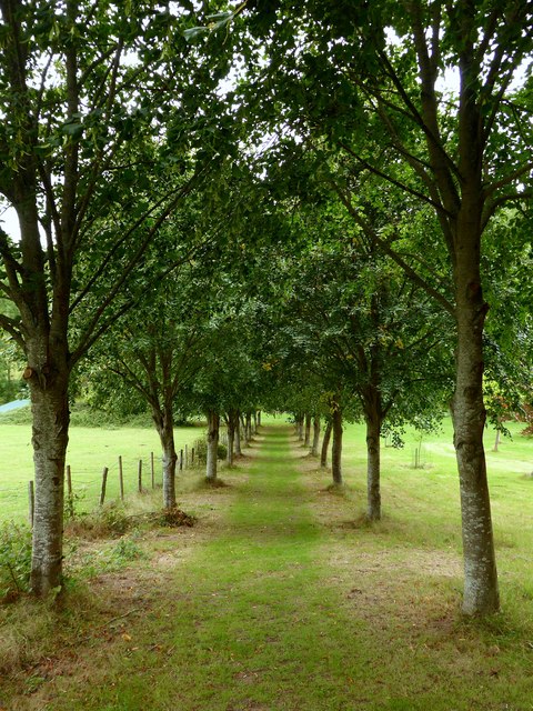
34WH Public Footpath
Linking Station Approach to Hammingden Lane with this section heading through a small avenue of trees in the grounds of Ham Cottage.
 Map © Crown Copyright")
TIP: Click the map for more Large scale mapping
- Grid Square
- TQ3629, 24 images (more nearby 🔍)
- Photographer
- Simon Carey (more nearby)
- Date Taken
- Sunday, 30 August, 2020 (more nearby)
- Submitted
- Saturday, 5 September, 2020
- Subject Location
-
OSGB36:
 TQ 3611 2912 [10m precision]
WGS84: 51:2.7189N 0:3.5841W - Camera Location
-
OSGB36: TQ 3616 2910
- View Direction
- West-northwest (about 292 degrees)