2020
TQ3729 : Station Approach
taken 4 years ago, near to Horsted Keynes, West Sussex, England
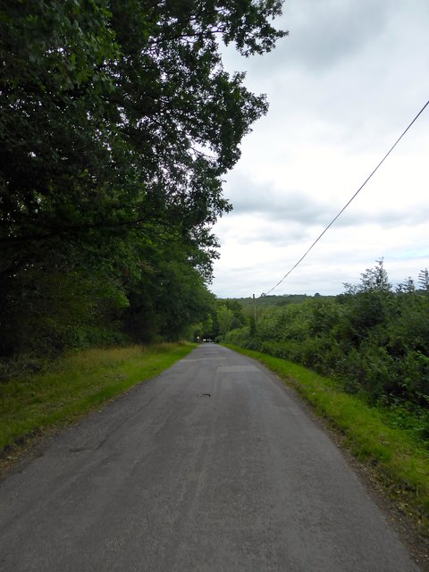
Station Approach
The approach road was built in the early 1880s to access Horsted Keynes station and extended westwards to Burstow Hill.
 Map © Crown Copyright")
TIP: Click the map for more Large scale mapping
- Grid Square
- TQ3729, 392 images (more nearby 🔍)
- Photographer
- Simon Carey (more nearby)
- Date Taken
- Sunday, 30 August, 2020 (more nearby)
- Submitted
- Saturday, 5 September, 2020
- Subject Location
-
OSGB36:
 TQ 3721 2904 [10m precision]
WGS84: 51:2.6601N 0:2.6450W - Camera Location
-
OSGB36: TQ 3733 2900
- View Direction
- West-northwest (about 292 degrees)