H0344 : Carrickbrawn and the Black River
taken 44 years ago, 6 km E of Kiltyclogher, Co Leitrim, Ireland
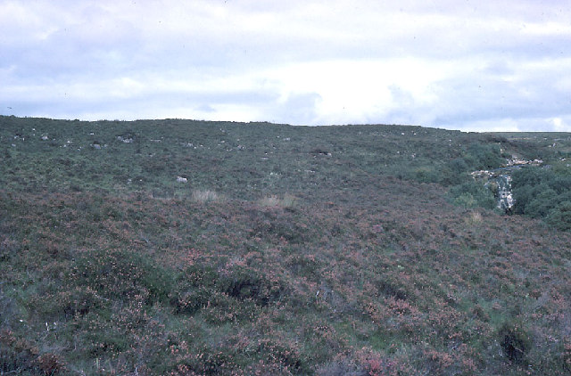
Carrickbrawn and the Black River
An interesting place botanically: the only Irish colony of Cornish heath is here. Otherwise there isn't much to see. The Black River flows into Lough Macnean Upper.
![Creative Commons Licence [Some Rights Reserved]](https://s1.geograph.org.uk/img/somerights20.gif)
|
· Find out How to reuse this image ·
Share:
|
|||||
| Start a discussion on H0344 | Suggest an update to this image | Contact the contributor | |||
Loading map... (JavaScript required)
- Grid Square
- H0344 (more nearby
 )
)
- Photographer
- Dr Charles Nelson (find more nearby)
- Date Taken
- August 1980 (more nearby)
- Submitted
- Sunday, 16 October, 2005
- Category
- Moorland > Moorland (more nearby)
- Subject Location
-
Irish:
 H 03 44 [1000m precision]
WGS84: 54:20.9519N 7:56.8154W
This page has been viewed about 150 times.
View this location:
KML (Google Earth) ·
Google Maps ·
Bing Maps ·
Geograph Coverage Map ·
More Links for this image
·
Bing Maps ·
Geograph Coverage Map ·
More Links for this image