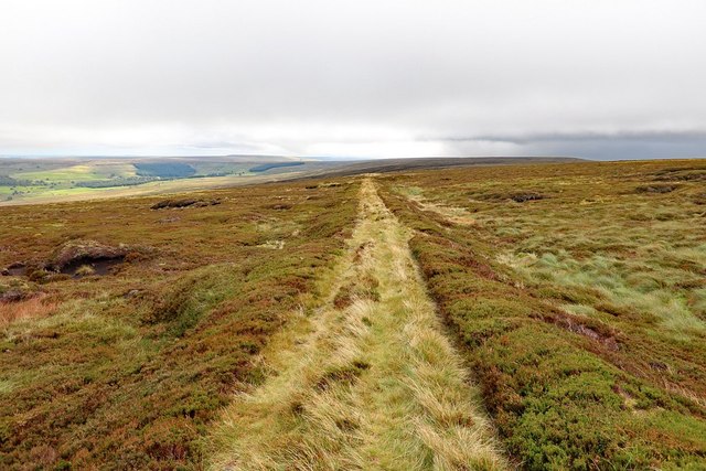
NY8244 : Track from Shooting Cabin, Middlehope Moor
taken 4 years ago, near to Coalcleugh, Northumberland, England
"Lead smelting mill built by the Blacketts in the early 18th century. By 1821 it had three ore hearths, one roasting furnace, and one slag hearth in operation. The mill closed in 1870. Surviving remains consist of a 3118m long flue, a row of deserted cottages and an overgrown reservoir. The mill was mainly for smelted ores for Allenheads and Coalcleugh mines, but was kept to working capacity by ores from Weardale mines. The mill closed in 1870. It had horizontal flues 3410 yards (3118m) long for carrying off the fumes."
Northumberland HER (7251): Link
Ordnance Survey Durham Sheet XV (Surveyed: 1858, Published: 1861): Link
OS 25 inch published 1897: Link
The large stone building (which remains in use) is shown in the same location on the first edition 6" OS and may retain parts of an original building of the smeltmill. The ruined stonework to its south is also on in the location of an older building although this is shown as a sheepwash on the 2nd edition 25" OS (Published: 1897) and in a photo (c.1967) from the Allen Valleys Local History Group: LinkArchive Link
The smeltmill horizontal flue originally extended to the south-west to a location high up on Middlehope Moor.
 Map © Crown Copyright")
- Grid Square
- NY8244, 105 images (more nearby 🔍)
- Photographer
- Andrew Curtis (more nearby)
- Date Taken
- Tuesday, 8 September, 2020 (more nearby)
- Submitted
- Wednesday, 9 September, 2020
- Subject Location
-
OSGB36:
 NY 8254 4472 [10m precision]
WGS84: 54:47.8233N 2:16.3856W - Camera Location
-
OSGB36: NY 82524 44738
- View Direction
- East-southeast (about 112 degrees)