2016
SS8579 : A view towards Stormy Down
taken 8 years ago, near to Tythegston, Bridgend/Pen-y-Bont ar Ogwr, Wales
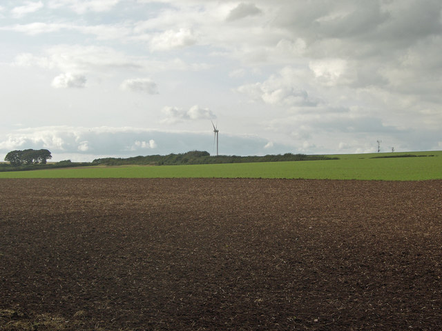
A view towards Stormy Down
The original wind turbine at Parc Stormy and the tops of telecommunication masts at Stormy Down rise above the horizon in this view across arable farmland from a spot at the north side of Tythegstons Long Belt of trees.
 Map © Crown Copyright")
TIP: Click the map for more Large scale mapping
- Grid Square
- SS8579, 62 images (more nearby 🔍)
- Photographer
- eswales (more nearby)
- Date Taken
- Friday, 23 September, 2016 (more nearby)
- Submitted
- Wednesday, 9 September, 2020
- Subject Location
-
OSGB36:
 SS 852 795 [100m precision]
WGS84: 51:30.1809N 3:39.2968W - Camera Location
-
OSGB36: SS 855 793
- View Direction
- West-northwest (about 292 degrees)