2020
TF7517 : Byway to Gayton Thorpe
taken 4 years ago, near to Gayton Thorpe, Norfolk, England
This is 1 of 3 images, with title Byway to Gayton Thorpe in this square
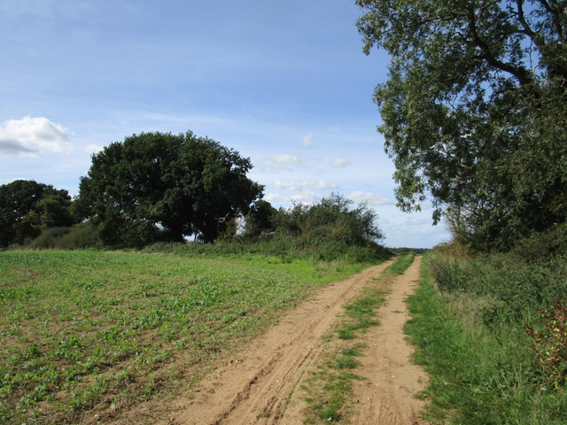
Byway to Gayton Thorpe
Classified by Norfolk County Council as a Maintained Unsurfaced Road.
Soigne Wood to the right
Soigne Wood to the right
 Map © Crown Copyright")
TIP: Click the map for more Large scale mapping
- Grid Square
- TF7517, 9 images (more nearby 🔍)
- Photographer
- Jonathan Thacker (more nearby)
- Date Taken
- Saturday, 12 September, 2020 (more nearby)
- Submitted
- Saturday, 12 September, 2020
- Subject Location
-
OSGB36:
 TF 7574 1773 [10m precision]
WGS84: 52:43.7193N 0:36.0665E - Camera Location
-
OSGB36: TF 7579 1770
- View Direction
- West-northwest (about 292 degrees)