2020
NO5017 : The Bandstand, St Andrews
taken 4 years ago, near to St Andrews, Fife, Scotland
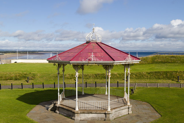
The Bandstand, St Andrews
 Map © Crown Copyright")
TIP: Click the map for more Large scale mapping
- Grid Square
- NO5017, 311 images (more nearby 🔍)
- Photographer
- Mark Anderson (more nearby)
- Date Taken
- Thursday, 3 September, 2020 (more nearby)
- Submitted
- Tuesday, 15 September, 2020
- Subject Location
-
OSGB36:
 NO 5057 1709 [10m precision]
WGS84: 56:20.6141N 2:48.0748W - Camera Location
-
OSGB36: NO 5057 1707
- View Direction
- NORTH (about 0 degrees)