2020
TQ3533 : Lime Kiln Field
taken 4 years ago, near to West Hoathly, West Sussex, England
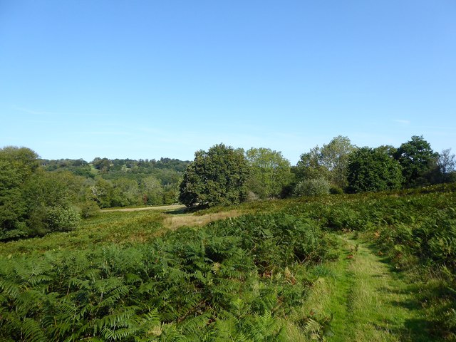
Lime Kiln Field
The name of the field according to West Hoathly's 1841 tithe map that is bounded by Rocks Wood to the west and Whitestone Wood to the east.
 Map © Crown Copyright")
TIP: Click the map for more Large scale mapping
- Grid Square
- TQ3533, 31 images (more nearby 🔍)
- Photographer
- Simon Carey (more nearby)
- Date Taken
- Sunday, 13 September, 2020 (more nearby)
- Submitted
- Saturday, 19 September, 2020
- Subject Location
-
OSGB36:
 TQ 3597 3343 [10m precision]
WGS84: 51:5.0449N 0:3.6067W - Camera Location
-
OSGB36: TQ 3597 3331
- View Direction
- NORTH (about 0 degrees)