2020
TQ3533 : Upper Barn Field
taken 4 years ago, near to West Hoathly, West Sussex, England
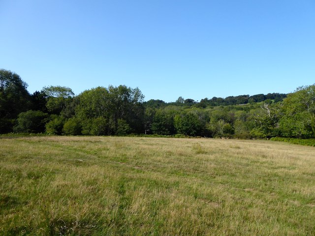
Upper Barn Field
The name of the field according to West Hoathly's 1841 tithe map that has Rocks Wood to its west. A herd of deer can just be made out at the far end of the field making for the wood.
 Map © Crown Copyright")
TIP: Click the map for more Large scale mapping
- Grid Square
- TQ3533, 31 images (more nearby 🔍)
- Photographer
- Simon Carey (more nearby)
- Date Taken
- Sunday, 13 September, 2020 (more nearby)
- Submitted
- Saturday, 19 September, 2020
- Subject Location
-
OSGB36:
 TQ 3594 3340 [10m precision]
WGS84: 51:5.0292N 0:3.6331W - Camera Location
-
OSGB36: TQ 3599 3340
- View Direction
- WEST (about 270 degrees)