H4468 : Location of former footbridge over the Drumragh River
taken 4 years ago, 4 km SSW of Omagh, Co Tyrone, Northern Ireland
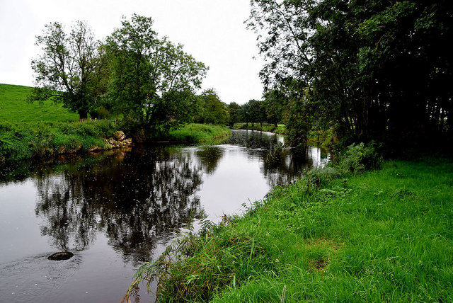
Location of former footbridge over the Drumragh River
See previous image taken in February 2019 H4468 : Collapsed footbridge, Gammy
![Creative Commons Licence [Some Rights Reserved]](https://s1.geograph.org.uk/img/somerights20.gif)
|
· Find out How to reuse this image ·
Share:
|
|||||
| Start a discussion on H4468 | Suggest an update to this image | Contact the contributor | |||
Loading map... (JavaScript required)
- Grid Square
- H4468, 216 images (more nearby
 )
)
- Photographer
- Kenneth Allen (find more nearby)
- Date Taken
- Thursday, 17 September, 2020 (more nearby)
- Submitted
- Saturday, 19 September, 2020
- Geographical Context
- Subject Location
-
Irish:
 H 443 684 [100m precision]
WGS84: 54:33.7450N 7:18.8734W - Camera Location
-
Irish: H 443 684
- View Direction
- EAST (about 90 degrees)
Other Tags
This page has been viewed about 12 times.
View this location:
KML (Google Earth) ·
Google Maps ·
Bing Maps ·
Geograph Coverage Map ·
More Links for this image
·
Bing Maps ·
Geograph Coverage Map ·
More Links for this image