2019
SP2965 : Standing water in the floodmeadow, Myton, Warwick
taken 4 years ago, near to Warwick, Warwickshire, England
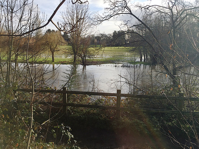
Standing water in the floodmeadow, Myton, Warwick
The river has been high for a month. After yet more rain, it has risen further overnight and broken its banks.
 Map © Crown Copyright")
TIP: Click the map for more Large scale mapping
- Grid Square
- SP2965, 1818 images (more nearby 🔍)
- Photographer
- Robin Stott (more nearby)
- Date Taken
- Sunday, 22 December, 2019 (more nearby)
- Submitted
- Saturday, 19 September, 2020
- Subject Location
-
OSGB36:
 SP 2959 6514 [10m precision]
WGS84: 52:17.0166N 1:34.0598W - Camera Location
-
OSGB36: SP 29527 65209
- View Direction
- Southeast (about 135 degrees)