2020
TQ3630 : Broad Green/Wattle Field
taken 4 years ago, near to Highbrook, West Sussex, England
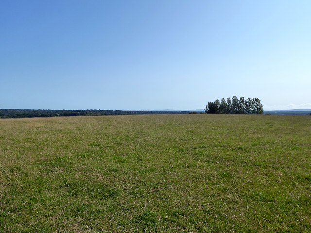
Broad Green/Wattle Field
The name of the fields according to West Hoathly's 1841 tithe map that have been merged to form a larger unit. Broad Green was to the north and Wattle Field to the south both being bounded by Hammingden Lane to the west.
 Map © Crown Copyright")
TIP: Click the map for more Large scale mapping
- Grid Square
- TQ3630, 129 images (more nearby 🔍)
- Photographer
- Simon Carey (more nearby)
- Date Taken
- Sunday, 13 September, 2020 (more nearby)
- Submitted
- Sunday, 20 September, 2020
- Subject Location
-
OSGB36:
 TQ 3635 3035 [10m precision]
WGS84: 51:3.3788N 0:3.3510W - Camera Location
-
OSGB36: TQ 3627 3043
- View Direction
- Southeast (about 135 degrees)