J3431 : View SW along the forestry road on the south side of The Drinns
taken 4 years ago, 3 km from Newcastle, Co Down, Northern Ireland
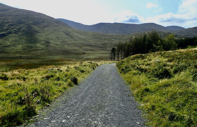
View SW along the forestry road on the south side of The Drinns
This viewpoint overlooks the upper Tullybranigan Valley and, beyond Slievenabrock, of the upper Spinkwee Valley.
![Creative Commons Licence [Some Rights Reserved]](https://s1.geograph.org.uk/img/somerights20.gif)
|
· Find out How to reuse this image ·
Share:
|
|||||
| Start a discussion on J3431 | Suggest an update to this image | Contact the contributor | |||
Loading map... (JavaScript required)
- Grid Square
- J3431, 121 images (more nearby
 )
)
- Photographer
- Eric Jones (find more nearby)
- Date Taken
- Saturday, 19 September, 2020 (more nearby)
- Submitted
- Wednesday, 23 September, 2020
- Geographical Context
- Subject Location
-
Irish:
 J 346 313 [100m precision]
WGS84: 54:12.7938N 5:56.2243W - Camera Location
-
Irish: J 346 313
- View Direction
- Southwest (about 225 degrees)
This page has been viewed about 15 times.
View this location:
KML (Google Earth) ·
Google Maps ·
Bing Maps ·
Geograph Coverage Map ·
More Links for this image
·
Bing Maps ·
Geograph Coverage Map ·
More Links for this image