2020
NC8045 : Allt Loch Cròcaich
taken 4 years ago, near to Loch Oich [water Feature], Highland, Great Britain
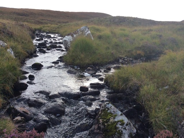
Allt Loch Cròcaich
South of Dry Burn Forest. Here there is a junction of burns.
 Map © Crown Copyright")
TIP: Click the map for more Large scale mapping
- Grid Square
- NC8045, 2 images (more nearby 🔍)
- Photographer
- Thomas Byrd (more nearby)
- Date Taken
- Wednesday, 23 September, 2020 (more nearby)
- Submitted
- Wednesday, 23 September, 2020
- Subject Location
-
OSGB36:
 NC 8063 4565 [10m precision]
WGS84: 58:22.9767N 4:2.5894W - Camera Location
-
OSGB36: NC 80604 45684
- View Direction
- Southeast (about 135 degrees)