2020
SP2412 : Lamb Inn
taken 4 years ago, near to Burford, Oxfordshire, England
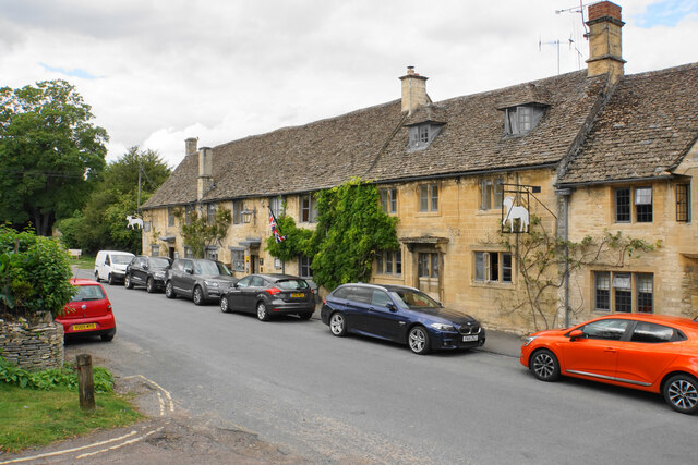
Lamb Inn
The inn appears to have absorbed several houses in the row. This is just about the end of the town on Sheep Street.
 Map © Crown Copyright")
TIP: Click the map for more Large scale mapping
- Grid Square
- SP2412, 48 images (more nearby 🔍)
- Photographer
- Bill Boaden (more nearby)
- Date Taken
- Monday, 3 August, 2020 (more nearby)
- Submitted
- Friday, 2 October, 2020
- Subject Location
-
OSGB36:
 SP 2497 1222 [10m precision]
WGS84: 51:48.4838N 1:38.3540W - Camera Location
-
OSGB36: SP 2498 1219
- View Direction
- North-northwest (about 337 degrees)