2020
SO8813 : Boundary Stone, track, Upton St Leonards
taken 4 years ago, near to Cranham, Gloucestershire, England
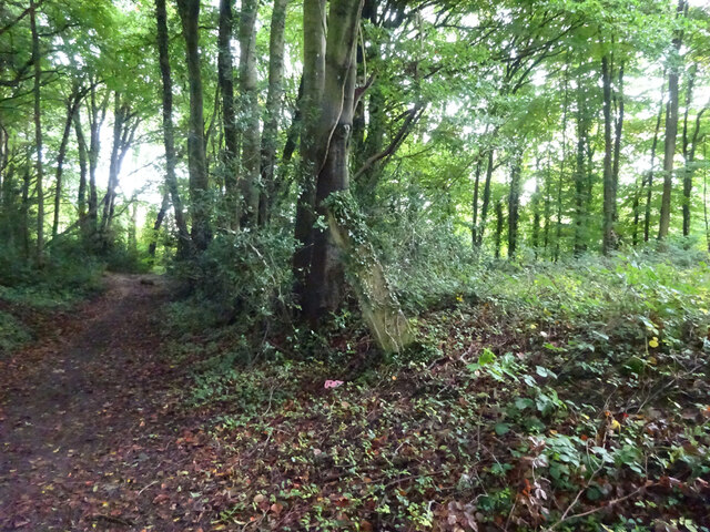
Boundary Stone, track, Upton St Leonards
track between Portway & the A46. Companion to other boundary stone see Link
Milestone Society ID: GL_UPSTLE01bm
Milestone Society ID: GL_UPSTLE01bm
National Survey of Wayside Features by The Milestone Society
These images are from Link
 Map © Crown Copyright")
TIP: Click the map for more Large scale mapping
- Grid Square
- SO8813, 46 images (more nearby 🔍)
- Photographer
- Mr Red (more nearby)
- Date Taken
- Monday, 5 October, 2020 (more nearby)
- Submitted
- Monday, 5 October, 2020
- Subject Location
-
OSGB36:
 SO 88089 13014 [1m precision]
WGS84: 51:48.9376N 2:10.4515W - Camera Location
-
OSGB36: SO 88085 13014
- View Direction
- EAST (about 90 degrees)