2020
SP2216 : Track in Taynton Bushes
taken 4 years ago, 3 km from Taynton, Oxfordshire, England
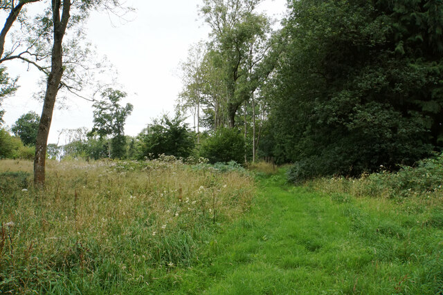
Track in Taynton Bushes
This track is a forestry route branching off the main track which is the public right of way. This track doesn't appear to be greatly used.
 Map © Crown Copyright")
TIP: Click the map for more Large scale mapping
- Grid Square
- SP2216, 7 images (more nearby 🔍)
- Photographer
- Bill Boaden (more nearby)
- Date Taken
- Tuesday, 4 August, 2020 (more nearby)
- Submitted
- Monday, 5 October, 2020
- Subject Location
-
OSGB36:
 SP 2295 1626 [10m precision]
WGS84: 51:50.6684N 1:40.0959W - Camera Location
-
OSGB36: SP 2298 1625
- View Direction
- West-northwest (about 292 degrees)