2011
SE0784 : River Cover
taken 13 years ago, near to West Scrafton, North Yorkshire, England
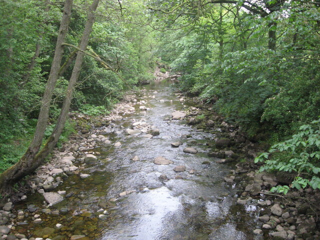
River Cover
Looking downstream from Caygill Bridge.
 Map © Crown Copyright")
TIP: Click the map for more Large scale mapping
- Grid Square
- SE0784, 22 images (more nearby 🔍)
- Photographer
- T Eyre (more nearby)
- Date Taken
- Saturday, 4 June, 2011 (more nearby)
- Submitted
- Wednesday, 7 October, 2020
- Subject Location
-
OSGB36:
 SE 0713 8421 [10m precision]
WGS84: 54:15.2112N 1:53.5239W - Camera Location
-
OSGB36: SE 0711 8419
- View Direction
- Northeast (about 45 degrees)