2020
NT3338 : Weir on the Leithen Water
taken 4 years ago, near to Innerleithen, Scottish Borders, Scotland
This is 1 of 5 images, with title Weir on the Leithen Water in this square
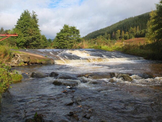
Weir on the Leithen Water
The weir or cauld which drew off water for the mill lade or 'dam' that powered several of the town's mills and other businesses in the days before steam. Still a good flow of water here after prolonged rain 3 days earlier.
 Map © Crown Copyright")
TIP: Click the map for more Large scale mapping
- Grid Square
- NT3338, 109 images (more nearby 🔍)
- Photographer
- Jim Barton (more nearby)
- Date Taken
- Tuesday, 6 October, 2020 (more nearby)
- Submitted
- Thursday, 8 October, 2020
- Subject Location
-
OSGB36:
 NT 3364 3849 [10m precision]
WGS84: 55:38.1252N 3:3.3397W - Camera Location
-
OSGB36: NT 3364 3845
- View Direction
- NORTH (about 0 degrees)