2020
SU2299 : Path to Lechlade Mill
taken 4 years ago, near to Lechlade on Thames, Gloucestershire, England
This is 1 of 2 images, with title Path to Lechlade Mill in this square
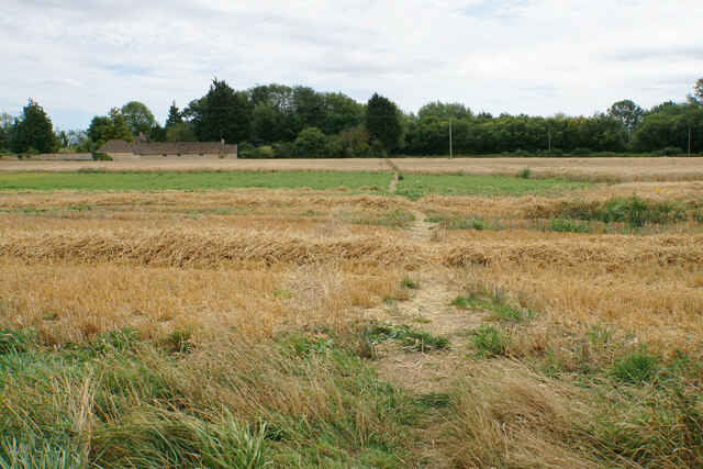
Path to Lechlade Mill
The path is crossing a field which in the course of being harvested.
 Map © Crown Copyright")
TIP: Click the map for more Large scale mapping
- Grid Square
- SU2299, 173 images (more nearby 🔍)
- Photographer
- Bill Boaden (more nearby)
- Date Taken
- Wednesday, 5 August, 2020 (more nearby)
- Submitted
- Wednesday, 14 October, 2020
- Subject Location
-
OSGB36:
 SU 2277 9974 [10m precision]
WGS84: 51:41.7571N 1:40.3174W - Camera Location
-
OSGB36: SU 2272 9979
- View Direction
- Southeast (about 135 degrees)