2020
NS4646 : Top of Clunch Road
taken 4 years ago, 3 km from Kingsford, East Ayrshire, Scotland
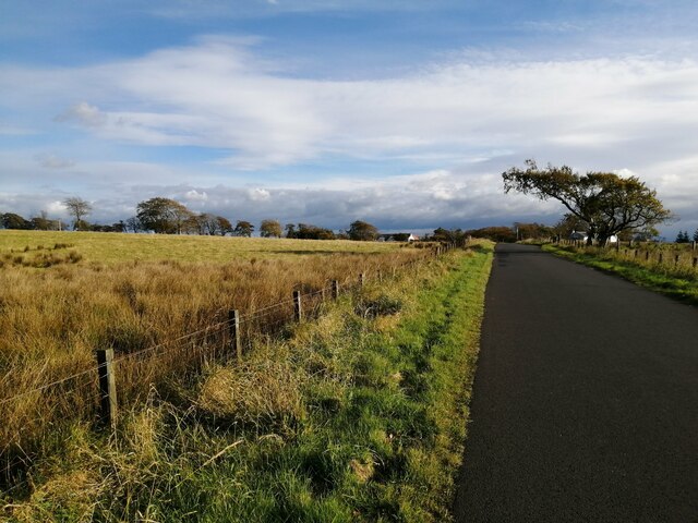
Top of Clunch Road
The single-track Clunch Road climbs over hill ground between the A77 and the B769. At its highest point there is a flat section seen here.
 Map © Crown Copyright")
TIP: Click the map for more Large scale mapping
- Grid Square
- NS4646, 7 images (more nearby 🔍)
- Photographer
- Alec MacKinnon (more nearby)
- Date Taken
- Tuesday, 13 October, 2020 (more nearby)
- Submitted
- Wednesday, 14 October, 2020
- Subject Location
-
OSGB36:
 NS 4665 4687 [10m precision]
WGS84: 55:41.4592N 4:26.4680W - Camera Location
-
OSGB36: NS 4659 4696
- View Direction
- South-southeast (about 157 degrees)