2015
SE5384 : Cold Kirkby
taken 9 years ago, near to Cold Kirby, North Yorkshire, England
This is 1 of 2 images, with title starting with Cold in this square
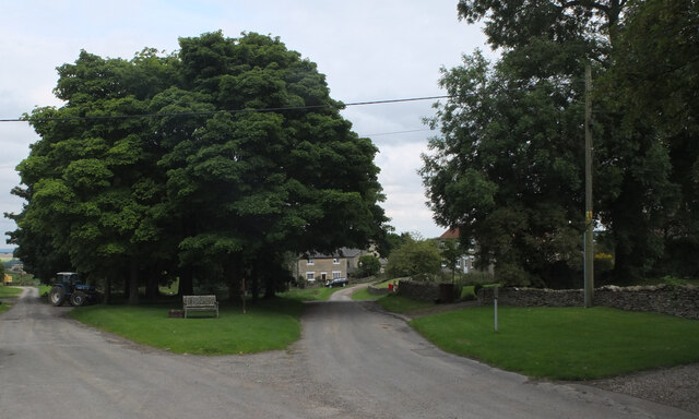
Cold Kirkby
The Cleveland Way passes through Cold Kirkby on the road to the right (Low Field Lane).
The Cleveland Way
The Cleveland Way runs 110 miles (177 km) between Helmsley and the Brigg at Filey, skirting the North York Moors National Park. Its highest point is at Urra Moor, 1,489 ft (454 m).
 Map © Crown Copyright")
TIP: Click the map for more Large scale mapping
- Grid Square
- SE5384, 40 images (more nearby 🔍)
- Photographer
- habiloid (more nearby)
- Date Taken
- Friday, 21 August, 2015 (more nearby)
- Submitted
- Friday, 16 October, 2020
- Subject Location
-
OSGB36:
 SE 5324 8454 [10m precision]
WGS84: 54:15.2266N 1:11.0596W - Camera Location
-
OSGB36: SE 5321 8454
- View Direction
- EAST (about 90 degrees)