2018
SS9389 : Houses and hillside, Ogmore Vale
taken 5 years ago, near to Ogmore Vale, Bridgend/Pen-y-Bont ar Ogwr, Wales
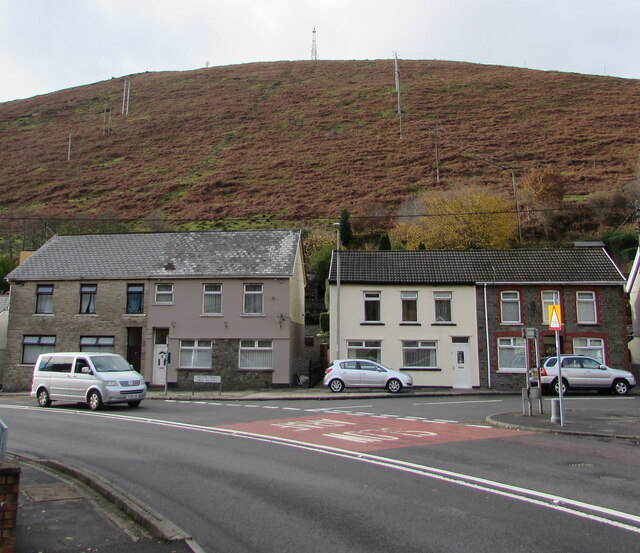
Houses and hillside, Ogmore Vale
Houses at the southern end of Walters Road viewed across the A4061 in November 2018.
 Map © Crown Copyright")
TIP: Click the map for more Large scale mapping
- Grid Square
- SS9389, 100 images (more nearby 🔍)
- Photographer
- Jaggery (more nearby)
- Date Taken
- Wednesday, 14 November, 2018 (more nearby)
- Submitted
- Friday, 16 October, 2020
- Subject Location
-
OSGB36:
 SS 9330 8962 [10m precision]
WGS84: 51:35.7173N 3:32.5073W - Camera Location
-
OSGB36: SS 9333 8964
- View Direction
- West-southwest (about 247 degrees)