2020
SZ5094 : Land in development
taken 4 years ago, near to Whippingham, Isle of Wight, England
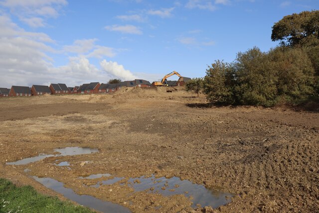
Land in development
Between Saunders Way and St Wilfrid's Drive.
 Map © Crown Copyright")
TIP: Click the map for more Large scale mapping
- Grid Square
- SZ5094, 62 images (more nearby 🔍)
- Photographer
- Paul Coueslant (more nearby)
- Date Taken
- Saturday, 17 October, 2020 (more nearby)
- Submitted
- Saturday, 17 October, 2020
- Subject Location
-
OSGB36:
 SZ 5064 9421 [10m precision]
WGS84: 50:44.7177N 1:17.0175W - Camera Location
-
OSGB36: SZ 5062 9414
- View Direction
- North-northeast (about 22 degrees)