2020
NY3708 : Ruined wall
taken 4 years ago, 3 km from Rydal, Cumbria, England
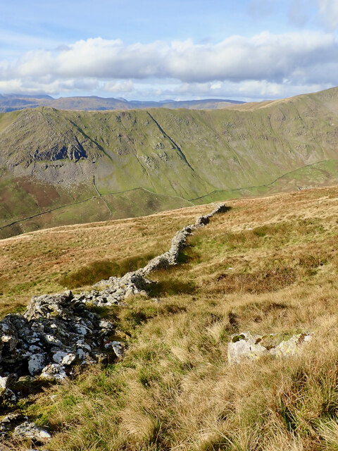
Ruined wall
 Map © Crown Copyright")
TIP: Click the map for more Large scale mapping
- Grid Square
- NY3708, 71 images (more nearby 🔍)
- Photographer
- Mick Garratt (more nearby)
- Date Taken
- Thursday, 15 October, 2020 (more nearby)
- Submitted
- Sunday, 18 October, 2020
- Subject Location
-
OSGB36:
 NY 3731 0875 [10m precision]
WGS84: 54:28.2136N 2:58.1284W - Camera Location
-
OSGB36: NY 3737 0873
- View Direction
- West-northwest (about 292 degrees)