2020
SK3239 : Trees east of Upper Vicarwood Farm
taken 4 years ago, near to Mackworth, Derbyshire, England
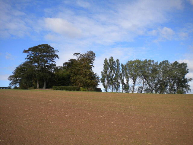
Trees east of Upper Vicarwood Farm
The eastern edge of a strip of woodland that marks the southern boundary of Kedleston Park.
 Map © Crown Copyright")
TIP: Click the map for more Large scale mapping
- Grid Square
- SK3239, 49 images (more nearby 🔍)
- Photographer
- Richard Vince (more nearby)
- Date Taken
- Saturday, 26 September, 2020 (more nearby)
- Submitted
- Sunday, 18 October, 2020
- Subject Location
-
OSGB36:
 SK 3222 3938 [10m precision]
WGS84: 52:57.0503N 1:31.3140W - Camera Location
-
OSGB36: SK 3227 3932
- View Direction
- Northwest (about 315 degrees)