2020
TL7918 : Footpath beside the River Brain
taken 4 years ago, near to White Notley, Essex, England
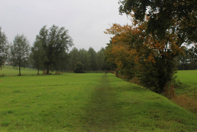
Footpath beside the River Brain
Adopted by the Essex Way long distance footpath as it heads towards White Notley
Essex Way
One of the first county long distance footpath devised, tracing its history back to 1971.
It was also the first to make an appearance within the county borders of Essex.
The 81 mile trail starts outside the underground station in Epping, passing through Chipping Ongar, Pleshey, White Notley, Coggeshall, Great Horkesley, Dedham and Manningtree to the High Lighthouse in Harwich. It runs through the entire county in a rough south west to north east line.
 Map © Crown Copyright")
TIP: Click the map for more Large scale mapping
- Grid Square
- TL7918, 46 images (more nearby 🔍)
- Photographer
- Chris Heaton (more nearby)
- Date Taken
- Tuesday, 13 October, 2020 (more nearby)
- Submitted
- Sunday, 18 October, 2020
- Subject Location
-
OSGB36:
 TL 7918 1815 [10m precision]
WGS84: 51:49.9931N 0:35.9464E - Camera Location
-
OSGB36: TL 7921 1813
- View Direction
- West-northwest (about 292 degrees)