2020
TQ1707 : Track heading NW on the east side of Steep Down
taken 4 years ago, near to North Lancing, West Sussex, England
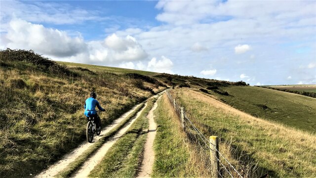
Track heading NW on the east side of Steep Down
 Map © Crown Copyright")
TIP: Click the map for more Large scale mapping
- Grid Square
- TQ1707, 34 images (more nearby 🔍)
- Photographer
- Ian Cunliffe (more nearby)
- Date Taken
- Sunday, 18 October, 2020 (more nearby)
- Submitted
- Sunday, 18 October, 2020
- Subject Location
-
OSGB36:
 TQ 170 075 [100m precision]
WGS84: 50:51.3104N 0:20.2809W - Camera Location
-
OSGB36: TQ 172 073
- View Direction
- Northwest (about 315 degrees)